


Mula is sometimes referred to as the gateway to the north-west of the Region of Murcia, its strategic location giving it historical importance from early pre-history.
It has a varied landscape. The rocky outcrops provide strategic defensive advantages, the fertile plains and forests give it agricultural importance, and the river and natural springs bring abundant life to the countryside. These natural advantages explain the presence of important archaeological remains dating from Pre-history (Cueva Antón, Abrigo del Milano), the Argaric Culture and, above all, the Iberian culture, which is represented at El Cigarralejo, an important settlement to which the Museo El Cigarralejo is dedicated.
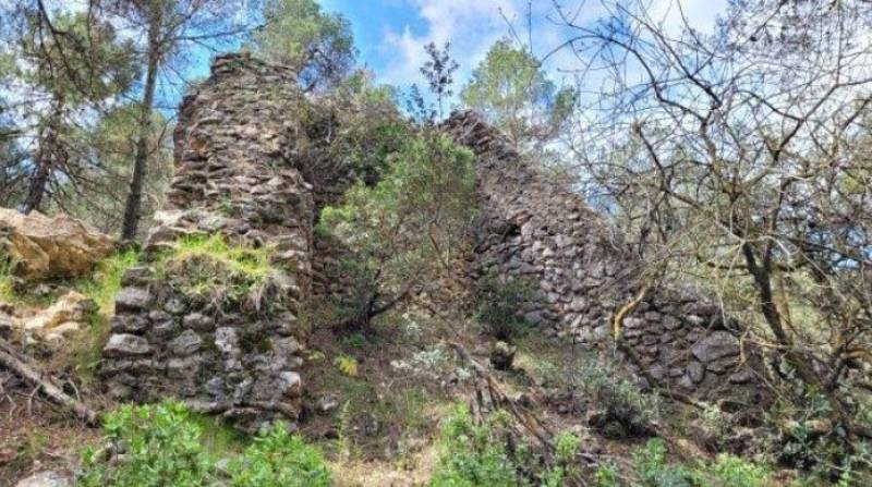
These cultures were followed by the Romans, who produced olive oil and wine in the area, and the villa of Villaricos is a large-scale example of 2,000-year-old agriculture, complete with thermal baths. Then came the Moors, who built the town in its current position and also left behind the castle of Alcalá, high above the motorway heading towards Caravaca.
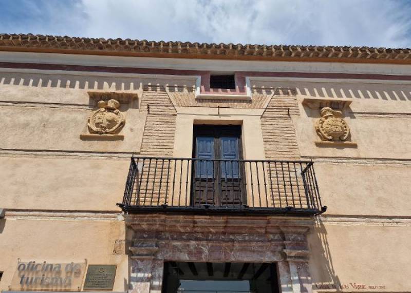
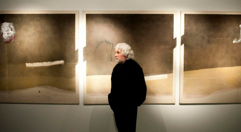
 Medieval Mula was dominated by the Fajardo family, who became the Marqueses de los Veléz and built the castle of los Veléz, which dominates the Mula skyline, above the historic old quarter with its grand palaces: these include the Casa Pintada, now an art museum housing a Foundation dedicated to internationally renowned artist Cristóbal Gabarrón.
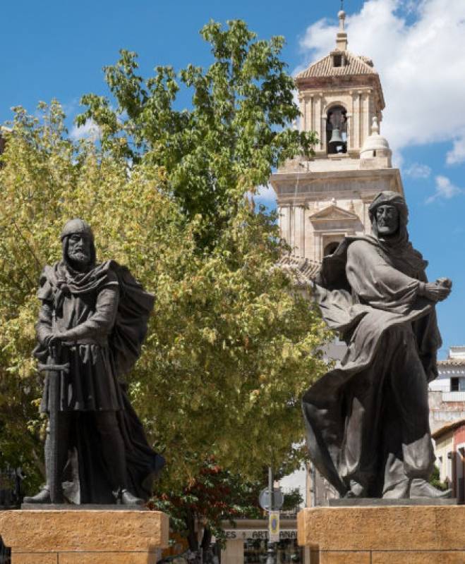
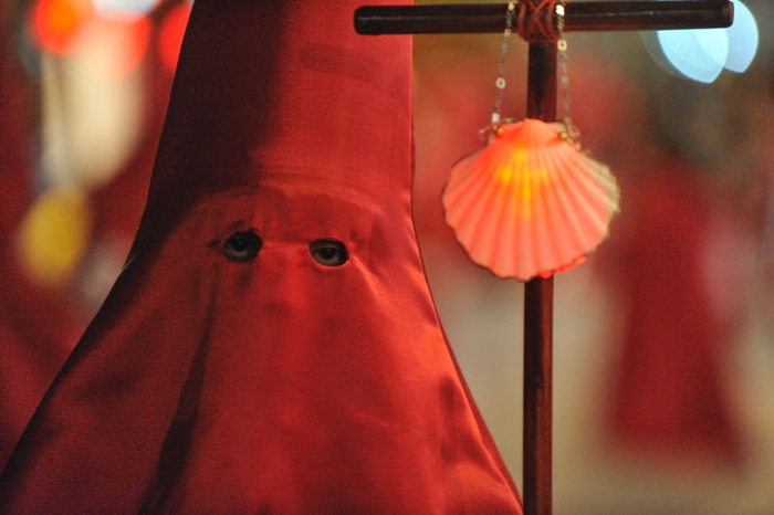
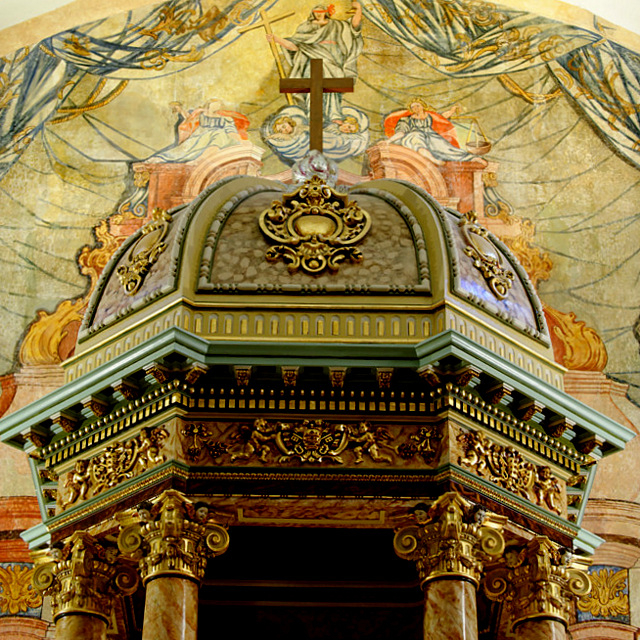
The historic old quarter attracts a steady stream of visitors and the town is also renowned for its traditions, the best known being its "tamboristas" who drum in the annual Semana Santa (Easter) celebrations on the Noche de las Tambores, commemorated in the main town square in front of the main parish church of San Miguel with an imposing sculpture.
 Mula is also known for its devotion to the Niño de Balate, located in El Niño de Mula, which celebrates an annual Romería in September of every year, as well as other annual fiestas. Another important religious feature is the Santa Espina, a holy relic reputed to be one of the thorns from the crucifixion crown of Christ.
The main economic activity is still agriculture, producing a mixture of dry crops including olives, wheat and grapes, as well as irrigated soft fruit crops, and the area is also the source of another important crop: energy, with new technologies creating an important solar power industry in the north-west and bringing employment in associated industries.
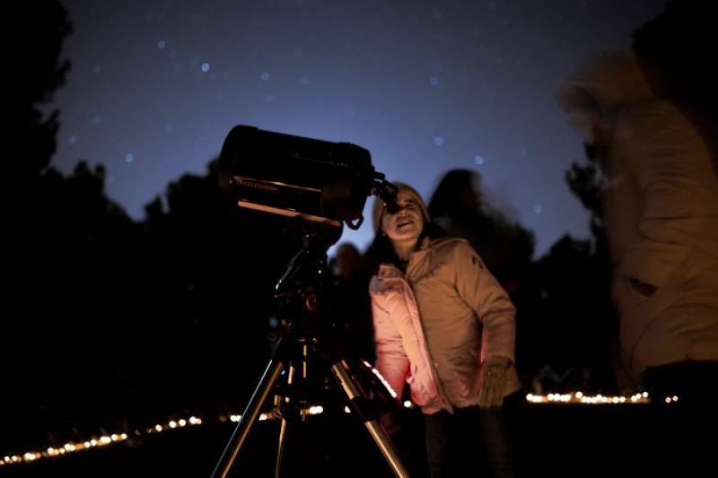
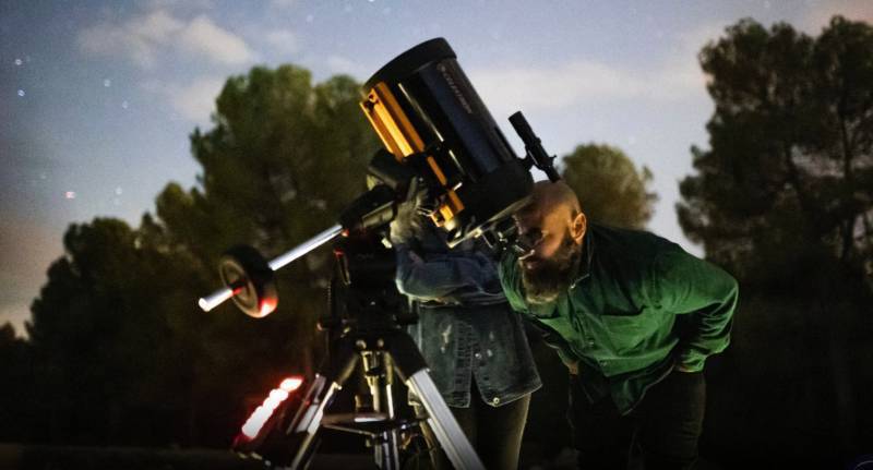
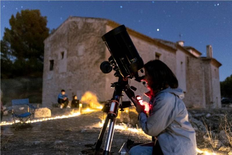
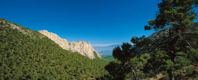
Part of Mula lies within the regional park of the Sierra Espuña and the municipality also boasts the mountains of Sierra del Cambrón and Sierra de Ricote, giving it a richly varied landscape, forests, plains, dry karst gullies, rivers and rich agricultural orchards, all creating rural tourism income.
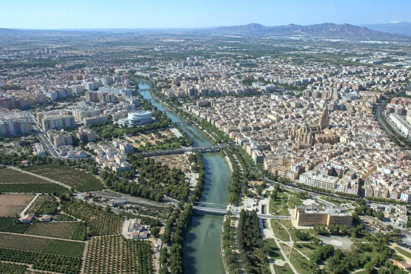
Today Mula is home to around 17,000 inhabitants and is a busy, historic town with a bustling old quarter and a new town at its foot, providing a complete cultural offering and an annual programme of fiestas and celebrations.
 Mula is located in the north-west of the Region of Murcia, forming part of the Comarca del Río Mula. It shares northern boundaries with Calasparra, Cieza and Ricote; to the east lie Ricote, Campos del Río, Albudeite and Alcantarilla, to the south are Librilla, Alhama de Murcia and Totana and to the west are Bullas, Cehegín and Lorca. In the centre is the smaller municipality of Pliego, surrounded completely by Mula.
Click for map, Mula, Murcia
More information can be found by using the headings below, which provide details about the places to visit, local news and what’s on information.
Details about other municipalities can be found via the map box at the bottom of every page and the in the north-west Murcia section, which gathers together local news, community info and what’s on for the whole of the north and north-west of the Region.